
Day 1 – Springer Mountain to Gooch Mountain Shelter – Mile 0.0 to 15.8
The trip began at 8:30 on a lovely Earth Day this past Wednesday. I met Turk in the Springer Mountain parking lot and we set off for what we estimated (read guessed) will end up being 2 million steps for me, 4 million for Turk. But they’re steps we intend to enjoy.
We were feeling great on our first day, so we rolled on past the Hawk Mountain shelter at mile 8.1 and set our sights on Gooch Mountain Shelter at mile 15.8. Our eyes were bigger than our feet, but after a tired final few hours we rolled into our first shelter. We arrived with Boston (from now on I’ll just refer to folks by the city they’re from if I can’t remember names), and the shelter site was soon crowded with about 15 folks who stayed the night (most in tent sites surrounding the shelter). Among whom were Gabe, Ben, Joe, Paul, and Scott.
After enjoying trying my hand at trail cooking, (roughly what I laid out in my Weekly Meals chart) we were treated to a rainy, thundery, lightningy first night. That had all stopped by the morning, and we had remained relatively dry inside our tents. Tried to capture the sound of the storm here – https://www.youtube.com/watch?v=bATWjHD_nS4.
Day 2 – Gooch Mountain Shelter to Bull Gap – Mile 15.8 to 32.8
We pushed the pace again on Day 2 as we attempted to get past a 5 mile section where we were required to use a hard bear canister to hang our food (which neither of us had). It ended up being our longest day both in length and time, ending after 17 miles around 7:30. In the midst of that we received our first ‘trail magic’ from a man named Dr. Pepper, climbed up and over 4 mountains, traveled into Suches, GA to retrieve a mail drop for Turk, and crossed paths with many new and old faces.


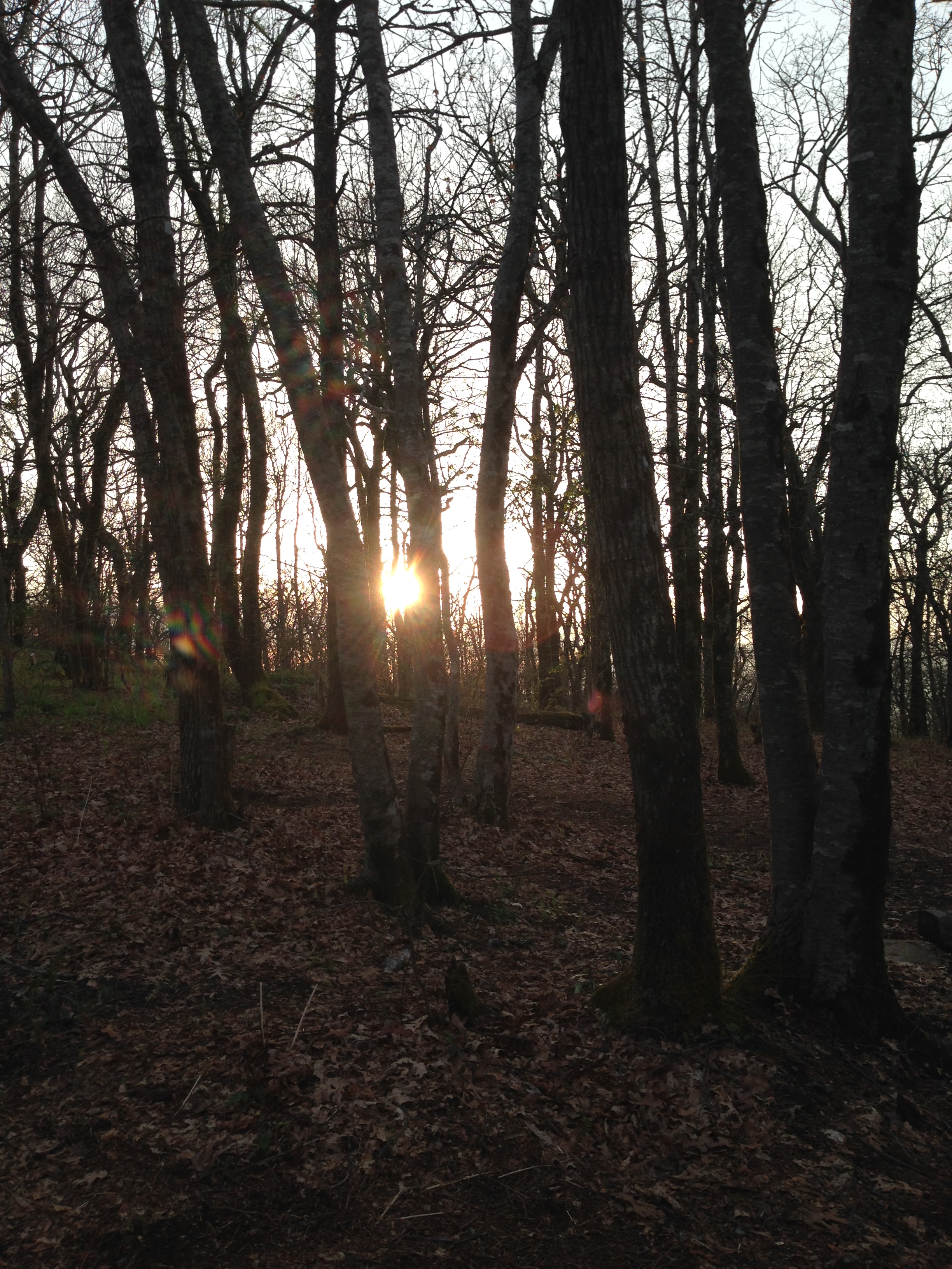
After going up and over 4000 feet for the first time on the trip during our ascent of Blood Mountain (elevation 4461), we camped on Bull Gap with two older men, Ghost and Eagle. They met as thru hikers 5 years ago and now get together to section hike each year. Both originally from Alabama, but one Rolls Tide while the other War Eagles. They were a wealth of knowledge and insight, and a great encouragement.
Day 3 – Bull Gap to Poplar Stamp Gap – Mile 32.8 to 44.6
The day marked our latest start to date, as our longest day led to our longest sleep, so it also became our shortest day. We climbed up and over 4 more mountains in our 11.8 miles on the trail, and probably experienced our hardest day as Turk struggled with blisters and I dealt with my perpetually weak ankles (I’ve been given the trail name Cankles).
After meeting Kyle, Hayden, Pony, and Finch at the Low Gap Shelter, we continued on and camped with Tiger Mike and The Heart Fund Fuzz (both from Boston) at Poplar Stamp Gap. The Heart Fund Fuzz bears his hiker name because in 1973 he became the first person to thru hike for a cause as he raised money for the Heart Fund as he took a break from his job as a policeman. He’s walking the first 110 miles with Tiger Mike who’s attempting his first thru hike, and he had some fantastic stories to tell.
And speaking of thru hiking for a cause, this seems to be the perfect place to plug my brother and sister-in-law’s work in Siliguri, India. They met in Nepal, and they’re hoping to head there to help with relief efforts. If you’re interested, their latest newsletter can be found here – http://us8.campaign-archive1.com/?u=2d54447247bbdf724a0eaa462&id=88050bb74f&e=1ed5828e56

Day 4 – Poplar Stamp Gap to Tray Mountain Shelter – Mile 44.6 to 58.6
We had to pack up in the rain for the first time, and having packed most things up in our dry tents, the only thing that ended up thoroughly drenched was the tent. The rain was light, but it brought with it a lovely fog that lasted the rest of the day, long after the rain had stopped.


A couple hours into our hike we ran into a trail runner who told of a church group that was preparing food for thru hikers passing through the upcoming gap. So it was with great anticipation and greater speed that we pressed on the last couple miles to Unicoi Gap for what turned into a feast of burgers, dogs, chili, hard boiled eggs, and all sorts of fixins. The church was McConnell Baptist Church in Hiawassee, but they mentioned that a guy coordinates with local churches so that almost every weekend folks are out with food for hikers.
So it was with overfull stomachs that we immediately had to summit 2 consecutive 4000 foot mountains, each with over 1000 foot ascents. We finished the day early on the second one of these at the Tray Mountain shelter, our highest camp at 4199 feet. We were joined for the latter part of the day on the trail by Reed, a 19 year old from Fort Wayne, Indiana. And we were joined in conversation at the shelter by Jim, a 35 year old artist from Wilkes-Barre, Pennsylvania.

Day 5 – Tray Mountain Shelter – Mile 58.6 to 69.6
We rose for the sunset on the mountain, and were on the trail by 8 so we could make it the 11 miles to Dicks Creek Gap to meet my parents at 1:30. We’ll be off the trail for a little over 24 hours as I take my Spanish Praxis test in Asheville Monday morning. We were both feeling fairly sore, so the break could not come at a better time. Aside from an 800 foot ascent straight up for a mile to Kelly Knob (which we agreed was the toughest climb of the trip to date), it was a relatively easy day. We were met on the trail by my parents, who ended up walking the last half mile or so with us before we hopped in the car and engorged ourselves on Baconators.

To be continued!

You go, Cameron! Don’t know if you will get this, because we aren’t allowed to link into your “comments” section! Regards, Ann Date: Mon, 27 Apr 2015 02:52:47 +0000 To: annshubert@hotmail.com
LikeLike
Thanks Ann!
LikeLike
You’re killing it bud – keep it up! Great to read about the people you’ve been meeting – also some incredible pictures!
LikeLike
Thanks Darin!
LikeLike
I’m glad you shared this on Facebook. I’m adventuring vicariously through you right now! I’m happy to say I’ve gotten to backpack with you.
Be safe on the trail ahead, and may God bless you and your partner on the AT!
LikeLike
Thanks Andrew! I thought often of that Passage trip as I planned the trip!
LikeLiked by 1 person
soooooo excited for you!!! curt and i are thinking of and praying for you. love the photos and updates. keep em’ coming. you got this! so awesome 🙂
LikeLike
Thanks Lauren! I’ve definitely prayed for both of you as well. Loving the time but looking forward to a visit to Indigo after I return!
LikeLike